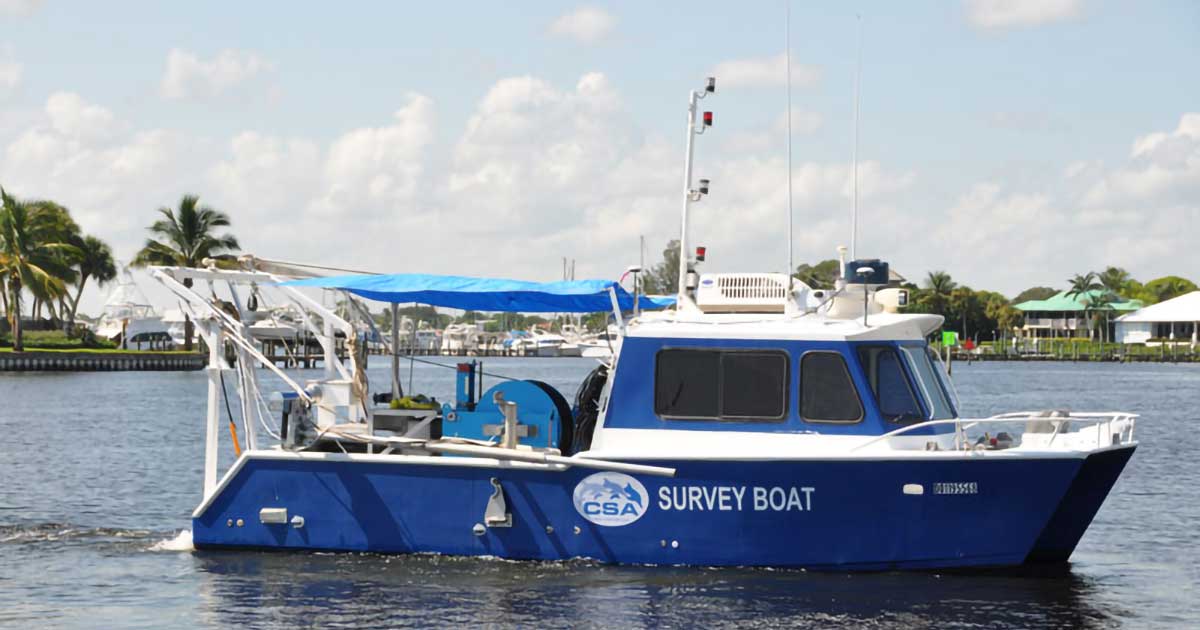
CSA Ocean Sciences Inc. (CSA) maintains a fleet of vessels for scientific diving, surveying, water/sediment sampling, and environmental consulting. Recently, CSA joined the ranks of 30 current Organizational Members of the Scientific Boating Safety Association (SBSA), reinforcing …