Improved technology of UAVs has the potential to augment (or replace) manned aircraft for aerial imagery collection at a fraction of the cost.
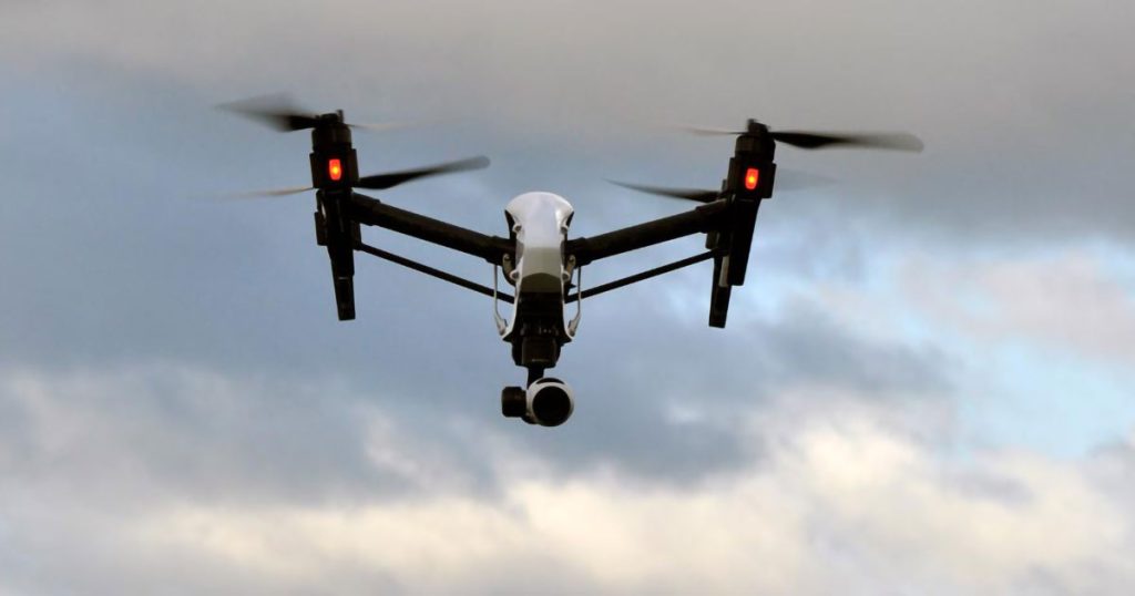
CSA recently conducted a pilot study offshore Martin County, Florida to compare aerial imagery collected with manned aircraft versus an unmanned aerial vehicle (UAV). UAV flights were conducted one month after the manned-aircraft flight, and imagery was processed and saved in the same format. Habitat classification software then calculated hardbottom area and performed an accuracy assessment on each imagery type. Results showed UAV-collected aerials provided 0.9% higher accuracy, a 3% higher Kappa coefficient, and acreage within 1% of that calculated for the manned aerial imagery. Other benefits included higher image resolution, allowing for the ability to further characterize habitat types or organisms from the images alone.
| Manned aircraft image of artificial reef feature | Drone image of the same feature |
 |
 |
The ability to collect aerial imagery within hours of receiving field team reports on visibility, during optimal field conditions, with similar accuracy and higher resolution at reduced cost compared to traditional methods guarantees the increasing role for UAVs in coastal imagery collection in the near future.