Multidisciplinary Action
CSA Ocean Science Inc. (CSA) we take a programmatic approach to multidisciplinary marine survey, offering a comprehensive suite of timely and cost-efficient services, stemming sampling, monitoring, mapping, permitting, baseline surveys, impact assessment, mitigation, and restoration practices, in coastal shallows to the ultra-deep ocean.
The CSA difference has always been underpinned by the recruitment and development of best-in-class field teams and industry-leading Subject Matter Experts, but is also underwritten by a continued investment in the latest technologies designed to optimize data collection and processing.
Investing in the Latest Technologies
In recent years, it is arguably the steady advancement of these intelligent technologies— hardware and software—that is having the most profound influence on how modern-day marine survey firms are shifting their modus operandum. From vessels to instrumentation, the current surveyor’s toolkit looks distinctly different from what it did back when CSA started out in 1970.
One of the more novel additions has been the tactical use of unmanned systems, on, below, and increasingly above the waterline. CSA has made significant investments in a range of such systems, including a fleet of rapidly deployable USVs to help access hard-to-reach or potentially hazardous waters (safety is always our number one priority) or as force multipliers to enable field teams to conduct routine tasks with greater speed and accuracy.
Going Above & Beyond
Our latest acquisition promises to take our survey coverage to new heights. In 2025, CSA introduced a state-of-the-art unmanned aerial vehicle (UAV)—a WingtraOne GEN II—to its lineup. The WingtraOne GEN II ultimately allows CSA teams to correlate surface and below-surface data with aerial surveys for terrestrial and aquatic mapping, as well as to monitor marine mammals, harmful algal blooms, invasive species, and beach erosion.
The high-end sensors and Post-Processed Kinematic (PPK) technology aboard the tailsitter vertical take-off and landing (VTOL) UAV have advanced CSA’s sampling and survey capabilities to integrate photogrammetry, LiDAR, and multi-spectral imaging from above, with unmatched detail.
Disaster Response as a Service
One immediate application for this UAV will be as the chief protagonist in CSA’s Uncrewed Disaster Response Service, which prioritizes the mobilization of remotely operable assets to speedily assess damage and impacts to communities and infrastructure following hurricanes, floods, and other natural disasters. Rapid situational awareness is essential after such events, so a UAV capable of launching from a restricted or debris-covered environment and covering 310 hectares (766 acres) in a single 49-minute flight will prove instrumental to providing clarity when speed and safety matter most.
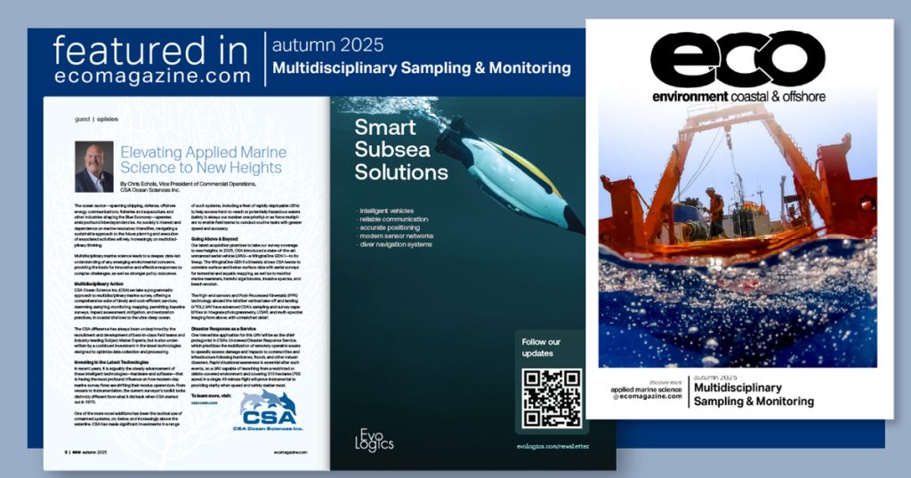
This opinion appeared in environment coastal & offshore (eco) magazine’s 2025 autumn edition Multidisciplinary Sampling & Monitoring, to read more access the magazine here.