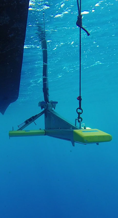
Precise Marine Surveys
By combining advanced instrumentation with the technical expertise of our cloud-based Environmental Data Geospatial Systems (EDGS) team, CSA provides comprehensive underwater imaging and spatial analysis solutions customized to your project’s geographic and environmental conditions.
Whether conducting precise hydrographic and geophysical surveys, baseline surveys, or supporting real-time construction, CSA guarantees that data are delivered with high spatial accuracy, minimal environmental impact, and full regulatory compliance. This data guarantee covers:
- Hazard clearance and pre-construction assessments
- Pre- and post-disaster assessments
- Benthic habitat and resource mapping
- Cable and pipeline routing
- Dredging and channel deepening projects
- Site suitability and foundation investigations
- Surface and subsea navigation and positioning
- Sand deposit and sediment transport studies
- Muck mapping and seafloor content and composition classification
- Search and recovery operations
- Marine archaeological surveys
- Geospatial data processing
Let CSA help you visualize the seafloor, assess risks, and make informed decisions at every stage of your project lifecycle.
Learn More About CSA Ocean Sciences