It’s Shark Week, so everyone is thinking about apex predators.
At CSA Ocean Sciences (CSA), however, one of our favorite “sharks” doesn’t have fins or teeth.
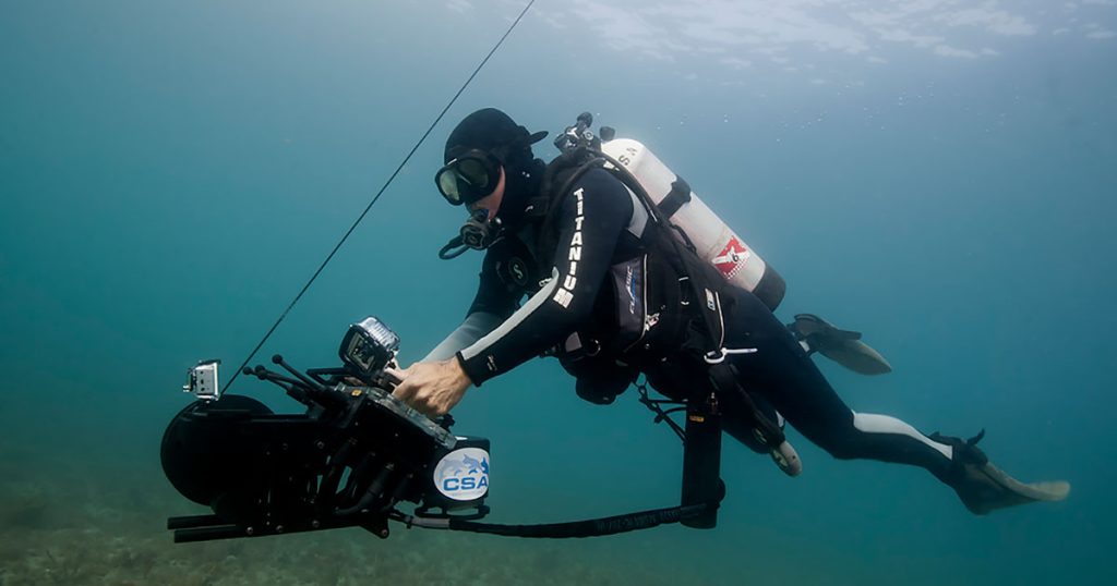
The Shark Marine underwater navigation system helps CSA divers know exactly where they are beneath the surface—something that’s far more challenging than most people realize. Once you leave the surface, GPS signals disappear, making precise underwater positioning difficult. Yet many marine projects depend on divers following exact survey lines, documenting sensitive habitats, relocating infrastructure, or returning to the same location repeatedly over the life of a project.
The diver-held system integrates GPS positioning at the surface, Doppler-based underwater navigation, and high-resolution imagery into a single platform. Divers can view their real-time position on an interactive display overlaid on pre-planned transects, previous dive tracks, bathymetric maps, or other project data while underwater.
Every dive creates a detailed geospatial record, including:
- Real-time diver position and swim track;
- Precise navigation along planned survey transects;
- Georeferenced imagery with Motion Imagery Standards Board (MISB) metadata; and
- Exportable tracks and imagery that integrate directly into ArcGIS and other GIS platforms for analysis and reporting.
The result is better data quality, greater repeatability, improved efficiency, and confidence that observations made underwater can be accurately tied to their geographic location.
We join Shark Week celebrating one of the ocean’s most iconic animals as well as technology that helps our marine scientists, engineers, and environmental professionals better understand and protect our oceans.
