CSA’s modeling services span FIVE core domains:
01
Marine Sound Modeling
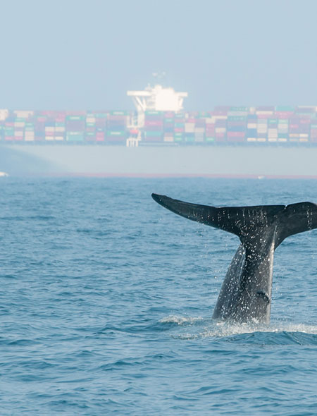
CSA performs marine acoustic impact modeling using specialized tools and methodologies to assess the effects of anthropogenic noise on marine life.
- NOAA Acoustic Guidance Calculator – Applied to evaluate potential impacts on marine mammal hearing per NOAA’s technical guidance.
- dBSea Software – Used for modeling underwater sound propagation from man-made sources.
- Expert Collaboration – CSA works alongside leading underwater acousticians to deliver comprehensive assessments for geophysical surveys, pile driving, and vessel operations.
02
Environmental Modeling
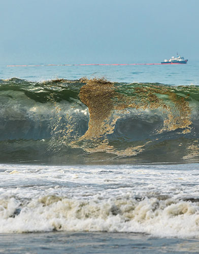
Our environmental modeling services are designed to predict spatial risks, evaluate habitat conditions, and inform management strategies using custom-built, GIS-integrated tools:
- Marine Mammal Vessel Strike Risk Model A GIS-based predictive tool (developed for BOEM) that estimates the probability of vessel encounters with marine mammals and turtles, supporting risk mitigation planning.
- Suitability Modeler Applications CSA uses the Esri Suitability Modeler, a tool in ArcGIS Pro to build, visualize, and refine multi-criteria suitability models for spatial decision-making including marine debris rehabilitation and seagrass restoration site forecasting.
- WEMo (Wave Exposure Model) Developed by CSA staff under previous NOAA affiliation, this laptop-friendly tool accurately forecasts wave dynamics in protected waters—ideal for coastal projects.
- Shading Impact Forecasting Tool A proprietary GIS tool created for the North Carolina DOT to model the spatial footprint of structural shading over time for habitat impact assessments.
03
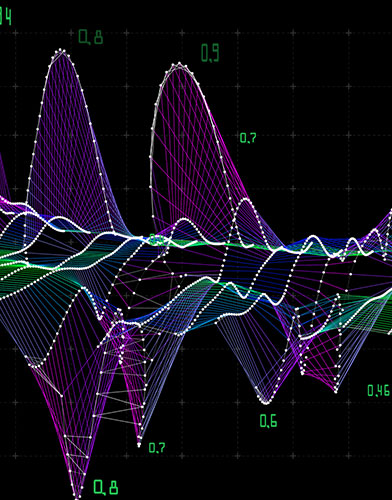
Parametric & Nonparametric Statistical Modeling
CSA applies rigorous statistical models to design and analyze marine surveys with precision and confidence.
- Linear, generalized linear, and multilevel models for ecological trend analysis.
- Multivariate methods to explore relationships between species distributions and environmental variables using such tools as PCA, NMDS, PERMANOVA, and machine learning approaches.
- Support for robust, defensible survey design under regulatory scrutiny.

04
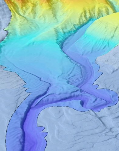
Geostatistical Modeling
CSA uses geostatistics to support spatial and temporal prediction of environmental parameters—essential for scalable survey design and future sampling.
- Builds spatial response surfaces to assess habitat conditions.
- Optimizes sampling efficiency in dynamic or poorly defined environments.
- Enables predictive analytics when future sampling stations are uncertain.
05
Natural Resource Damage Assessment (NRDA)
CSA supports NRDA and habitat compensation planning using federally and state-accepted frameworks:
- Habitat/Resource Equivalency Analysis (HEA/REA) – HEA and REA and custom versions to assess environmental losses and calculate compensatory mitigation needs.
- Unified Mitigation Assessment Method (UMAM) – Used in Florida to calculate habitat restoration requirements based on ecological uplift and recovery timelines.
Learn More About CSA Ocean Sciences