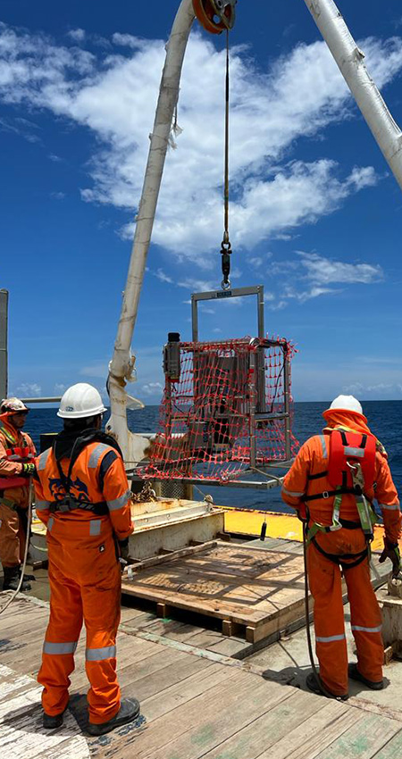
Using our SPI camera, we provide coastal authorities and offshore developers with a range of physical and biological parameters for any set amount of time. The SPI camera captures vertical profiles of the sediment producing high‑resolution images that reveal a cross‑section of sediment layers, textures, redox boundaries, subsurface organisms, and estimates of bioturbation depth, without disturbing the sediment’s natural structure. In contrast, the Plan View (PV) images provide plan-view perspectives that reveal grain types, shell deposits, surface morphology, and visible organisms.
SPI techniques are instrumental in defining essential information for the planning, development, and ongoing management of critical underwater infrastructure, including:
- Grain-size major mode and range (gravel, sand, silt, clay).
- Small-scale surface boundary roughness.
- Evidence of erosional or depositional environments, allowing identification of high and low kinetic energy areas.
- Subsurface methane gas pockets (evidence of high Sediment Oxygen Demand).
- Depth of the apparent Redox Potential Discontinuity (RPD).
- Calculation of the Organism-Sediment Index, allowing rapid identification and mapping of disturbance gradients in surveyed areas.
- Presence of epifauna.
- Surface microbial aggregations.
- Infaunal Successional Stage.
- Evidence of excess organic loading and high sediment oxygen demand.
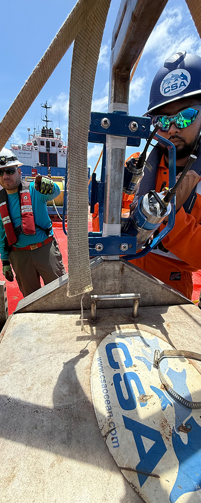
CSA’s investment in a leading SPI/PV system and field team is testament to the firm’s unwavering commitment to providing ocean professionals with the leading tools, techniques, and teams to deliver best-in-class multidisciplinary marine environmental survey services across the globe.
Learn More About CSA Ocean Sciences