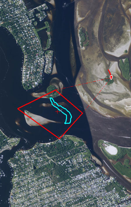
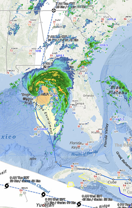
EDGSonline is a web-based platform that offers authorized users the opportunity to view, interact with, and analyze layers of geospatial information, including data, documents, and imagery. Advanced capabilities built into our custom platform include geofencing, asset tracking, real-time updates, mobile applications, consumable content, georeferenced video playback, and video mosaicking.

GIS Specialists
In the global marine environment, CSA specializes in:
- Designing and executing statistically robust surveys.
- Collecting and analyzing data.
- Assessing environmental impacts.
- Preparing and obtaining permits.
- Adapting to continuously evolving regulatory setting.
- Analyzing laboratory data for statistical significance and management of change.
- Providing relevant data and information to a range of industry, government, and private clients.
Our success in delivering these services is owed to our expertise in spatial data collection, processing, management, and visualization. The centralization and visualization of data from collection through archiving is a principal challenge in every project. At the core of our services is secure, online geoportal technology.
GeoPortals
The centralization and visualization of data from collection through archiving is a principal challenge in every project. At the core of our services is GeoPortal technology, which offers a secure, web-based setting in which authorized users can view, interact with, and analyze geospatial information.
Cartography
ESI Mapping


